Bracell, a global leader in the manufacture of dissolving pulp, received on October 10th the National Award for Excellence in the Use of the ArcGIS System in Digital Transformation by the EU Esri 2022
The largest geotechnology event in Brazil brings together technology enthusiasts presenting the latest advances in Geographic Information Systems to solve business problems and improve the lives of citizens and the planet. Bracell winning project uses geoprocessing to carry out temporal, socio-environmental and quality analysis of plantations, with applications for forestry projects.
The theme of the event this year was “Mapping the understanding of our planet” and the company won the award by a geographic information system used to create maps, analyze, manage and share data. The EU Esri had the participation of more than 80 companies from various segments and approximately 100 projects were selected to compete for awards in the Agribusiness, Electric Energy, Sanitation categories, as well as the highlights among Federal and State Government projects.
The preparation of the project began in 2019, when the company began the search for areas to expand the forest base, meeting the demand of the new factory, located in Lençóis Paulista (SP). Geoprocessing is used to provide accurate information and ensure good business analysis, with high added value, while meeting the company’s socio-environmental assumptions.
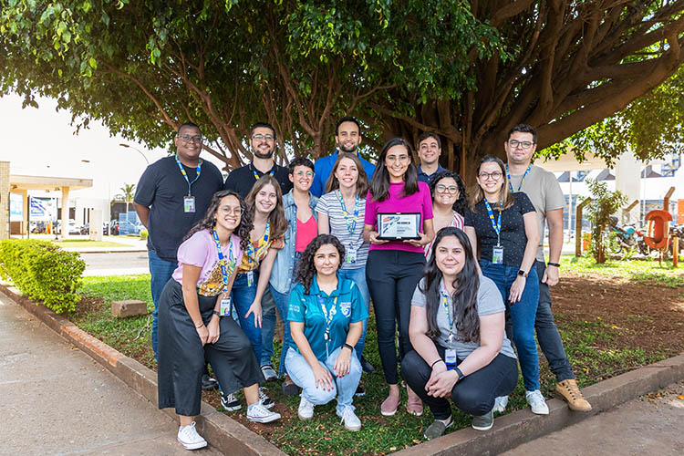
According to Ivy Mayara Sanches de Oliveira, Geoprocessing analyst and responsible for the project, the positive results led Bracell to submit the project to the EU Esri 2022. She says that, through geotechnology, a careful assessment of the use and land cover in the farms and their changes over time. “Being part of the team that is implementing this project was an opportunity for professional development. It was a rich learning experience. I have always felt very proud to be a part of it,” she said.
Ivy explains that, to prospect the best opportunities, a large geographic database was created with information on all the farms in the company’s region of interest. Through a mobile application, funding analysts can reach the areas and collect important information that is synchronized in real time with the Bracell database. This information, added to the temporal analysis of the satellite images, allows the geoprocessing team to make a careful assessment of the vegetation cover of the farms, allowing the best decision to be made regarding environmental criteria, based on laws and certifications. She also reinforces that all the farms analyzed meet the legal requirements.
“The use of geotechnologies is a decisive factor for us to broaden our view of our assets (land and forests) and implement best environmental practices. This award brings the deserved recognition to our geoprocessing area, which does an excellent job, demonstrating how Bracell is at the forefront in the use of technologies applied to forest management”, explains Gilberto Ferreira Moraes, Planning and Control manager at Bracell SP.
Emerson Roberto Schoeninger, Geoprocessing coordinator, highlighted the work of Bracell teams as essential for the project’s outcome. “Respect for the company’s culture, the dedication of each team member and the investment in technology combined with results, made this national award possible. A great achievement for all of us.”