The groundbreaking work, which harnessed data from Sentinel-1 satellites, was presented at a congress and a seminar held in São Paulo and Espírito Santo, Brazil
Two innovative studies developed by staff at Bracell Bahia at two international events, both based on using data from Sentinel-1 satellites, have achieved first place in their respective presentations. One study focused on identifying eucalyptus growth stages under different management types, while the other aimed at detecting fires in forest plantations.
These studies were showcased at the Congress on Forest Plantations organized by the Forest Research and Studies Institute (Ipef), in partnership with the Brazilian Forestry Association (IBÁ), the Brazilian Pulp and Paper Association (ABTCP), and the International Union of Forest Research Organizations (Iufro), held in Piracicaba (SP). The other event was the 1st International Seminar on Remote Sensing Applied to Forest Measurement, held in Jerônimo Monteiro (ES), in collaboration with the Department of Forest Sciences and Wood at the Federal University of Espírito Santo (Ufes), the University of Maine (United States), the University of Technology and Economics of Budapest (Hungary), and Universidad Tecnológica Indoamérica (Ecuador).
The innovative studies were conducted by Bracell researchers Caio Santos and Jorge Monteiro, an intern and trainee in the Planning department; Mateus Tinôco, a Geoprocessing analyst, and Túlio Queiroz, a forest researcher from the Research & Development (R&D) department.

Titled “Multitemporal Data from SAR Sentinel-1 for the identification of eucalyptus spp growth stages under different management types,” the research presented by the team at the Ipef Congress evaluates the stages of eucalyptus growth under two management modalities adopted by the company: “reforma” (renewal) and “talhadia” (coppice). The study analyzed 50 plots (cultivated areas) of Bracell.
The study “Fire Detection through Historical Radar Series,” presented at the Ufes seminar, which even included representatives from NASA, the US space agency, demonstrates how radar can be used to monitor and identify areas affected by fires in eucalyptus plantations. “With remote sensing, we monitor the forests and can identify anomalies, such as fires,” explains Tinôco.
Monteiro explains that radar data is generally used in meteorology. Despite being public data provided by the European Space Agency, they are seldom used by forestry companies because handling this information is complex. The sector usually therefore employs multispectral satellite data, although this has the disadvantage that data collection is intermittent on rainy days or when there is heavy cloud cover, which doesn’t happen with radar.
As radar data is related to the physical and structural properties of forests, both current and historical radar data enable the understanding of growth dynamics, identification of cutting and planting cycles, and detection of anomalies such as forest fires and infestations of weeds in young plantations.
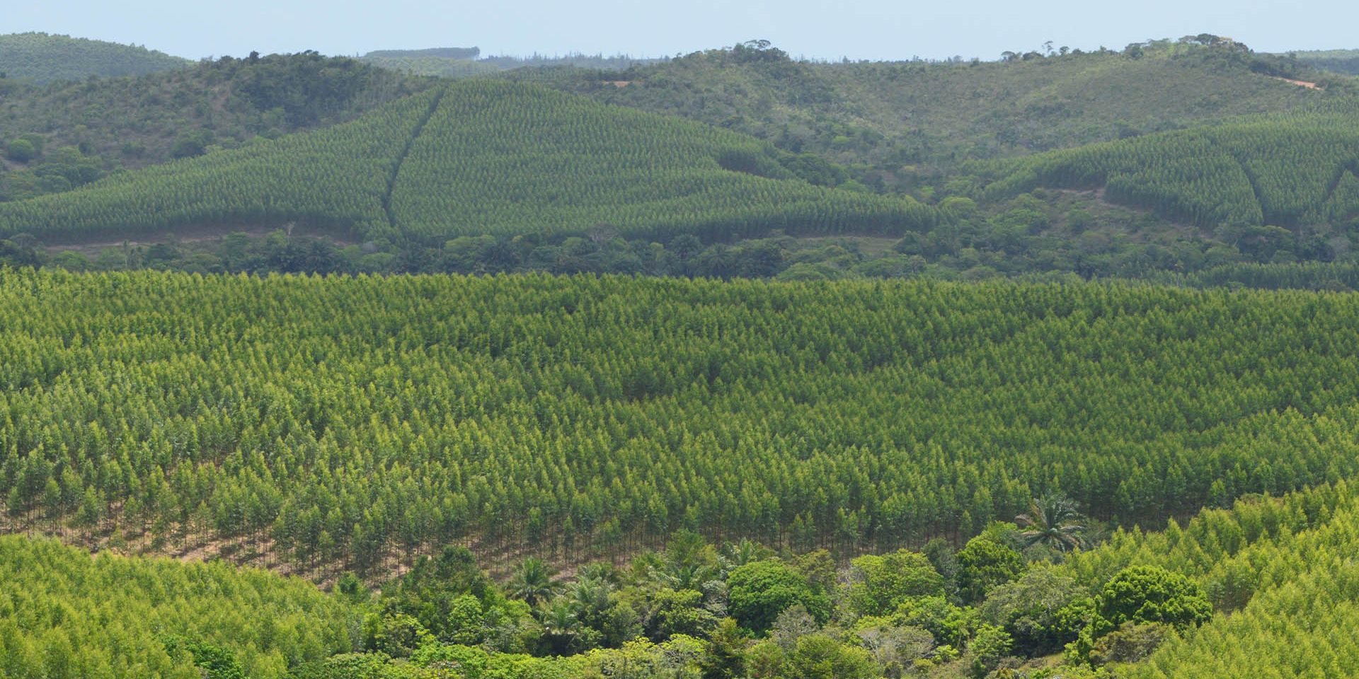
“By using data obtained through remote sensing, we regularly monitor the company’s forest assets – both in areas designated for eucalyptus planting and in native vegetation areas undergoing regeneration, reinforcing Bracell’s One-to-One Commitment to matching its planting area with the preservation of native areas. The partnership between the Geoprocessing, R&D, Forest Efficiency, Forestry and Environmental teams allows us to enhance the company’s forest management practices,” emphasizes Tinôco.
According to him, the participation of Bracell employees in events of this type is part of the capacity-building program conducted by Training and Development, which underscores the company’s interest in technically training its members.


