The Company is investing in new formats aiming at business sustainability
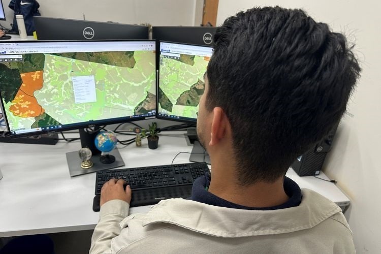
A leading global producer of dissolving pulp, Bracell is using remote sensing technology via satellite to aid the calculation of the amount of greenhouse gases (GHG) stored in native forests located in its geographies. This type of monitoring is a breakthrough in the pulp sector. Using the satellite provides greater agility and efficiency in monitoring, allowing a more comprehensive and accurate analysis of the amount of carbon stored in the forest base. Bracell can harness this information to make more accurate estimates and steer environmental recovery projects to increase the sequestration potential.
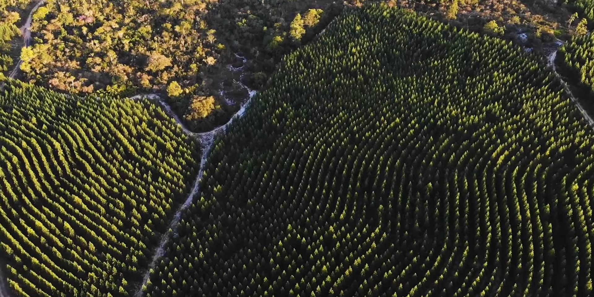
The challenge of Bracell’s sustainability team involved the need to calculate the amount of greenhouse gases (GHG) present in the company’s forest assets, especially in relation to the amount of stored carbon. However, the extensive forest area managed by the company posed the challenge of collecting field information, hindering a comprehensive evaluation. That is when the idea arose of using satellite images to capture the variation and behavior of the different stages of succession of native forests. This innovation provides the company with a broader and more detailed view of these native forests, something that until then was not common in the sector.

“Satellite imagery can capture the variation in leaf colors, enabling the modeling of vegetation behavior at different stages of succession. By using remote sensing technologies and field information, we were able to deploy this model across all forest assets, providing a more accurate calculation of the carbon stocks,” explains Emerson Schoeninger, Bracell Geoprocessing Manager in São Paulo.
The outcomes of this project were posted on the WEBGIS website, which provides updated data on the carbon stocks in Bracell’s forest assets in São Paulo state. The figures are presented in a clear and understandable format, allowing the company to make more informed decisions regarding environmental management.
“Through carbon monitoring, we are growing our ability to foster environmental sustainability, optimizing our GHG inventory processes and environmental actions. This technology affords us a complete and detailed view of the forest assets, better aligning our actions with climate improvement and environmental conservation,” highlights João Augusti, Sustainability Manager.
The use of satellite data for monitoring native forests should become increasingly relevant in the fight against climate change. “Supporting a broader understanding of the native forests present in the areas where Bracell operates can inform strategic decisions, taking into consideration the protection and management of these forests’ carbon stocks,” emphasizes Augusti.


